

Air Pollution Risk Map – PM2.5 Airshed Forecast Platform
A public web map showing today’s and tomorrow’s PM2.5 risk for every air-quality zone (airshed) in Thailand, driven by a remote-sensing and machine-learning forecast model.
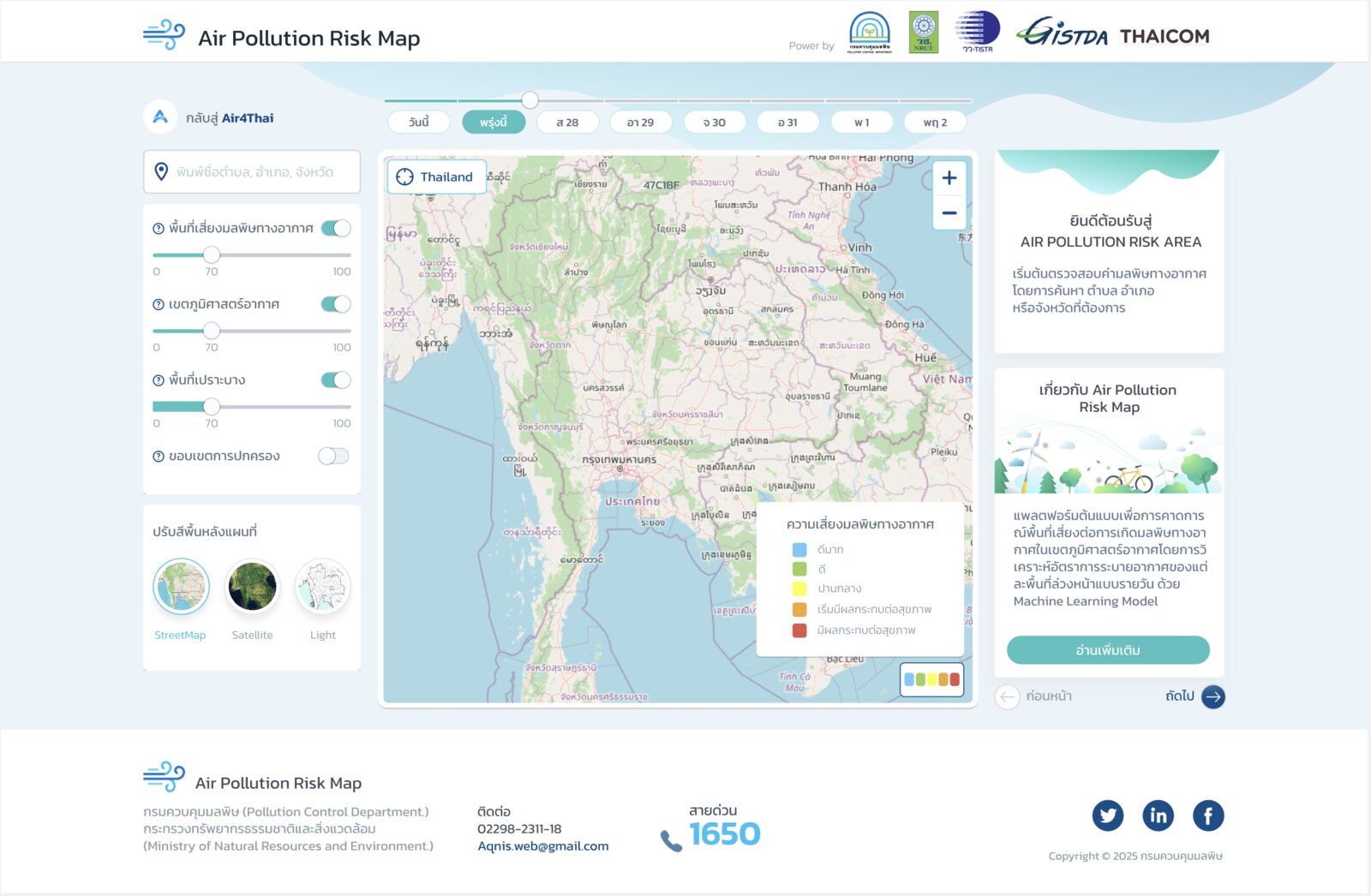
Funded by the National Research Council of Thailand and installed on Pollution Control Department servers, the platform publishes daily PM2.5 risk forecasts per airshed.
- Leaflet map with layer controls, three basemaps, district and sub-district search and click-to-query pollution details.
- Python/FastAPI data service, Docker and Nginx deployment.
- UI designed in Figma together with the research team.