

Geospatial intelligence for water, land and environment.
GeoInfo is a Bangkok-based GIS and software consultancy. We build web-mapping platforms, data pipelines and analytics that help public agencies turn geospatial data into decisions.
GeoInfo, the geospatial software company
Founded in Bangkok in 2018, GeoInfo designs and builds geospatial information systems for government agencies, international organisations and private companies.
Our team combines GIS, remote sensing and software engineering. We work mostly with open-source technology — PostgreSQL/PostGIS, GeoServer, GeoNode, QGIS, Leaflet and Python — to deliver systems that our clients can run, extend and own.
Our story

From satellite data to decisions
We cover the whole chain: collecting and processing spatial data, storing and serving it, and turning it into maps, dashboards and tools people actually use.
Web GIS & dashboards
Interactive map platforms, time-enabled layers, analytics dashboards and public map portals.
Spatial data infrastructure
Geodatabases, data catalogues, GeoServer/GeoNode, OGC services, APIs and automated data pipelines.
Remote sensing & machine learning
Land-use classification, drought and flood indices, InSAR subsidence and crop analysis from satellite imagery.
Mobile & desktop GIS tools
Field data-collection apps, LINE chatbots and custom QGIS plugins tailored to each organisation.
Trusted by public agencies and international programmes
Since 2018 we have delivered geospatial systems for water-resource, pollution-control, land and agriculture agencies across Thailand, as well as for GIZ and FAO-supported programmes.
Recent work
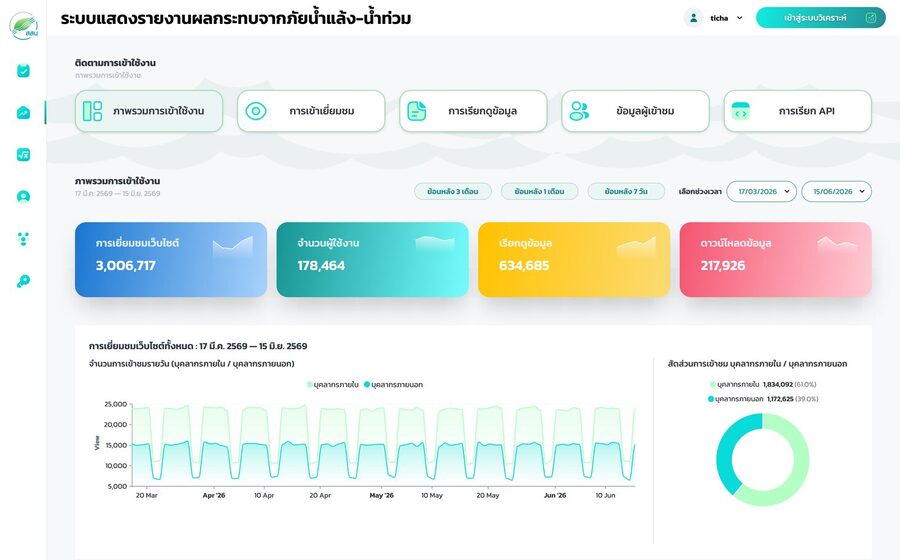
Drought–Flood Impact Analysis Platform (HIMS next generation)
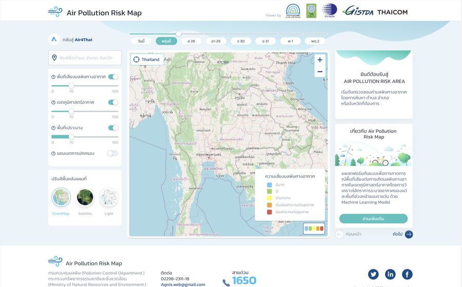
Air Pollution Risk Map – PM2.5 Airshed Forecast Platform
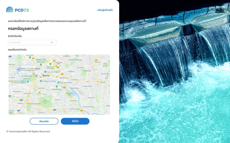
Wastewater Treatment Operator e-Licensing System (Section 73)
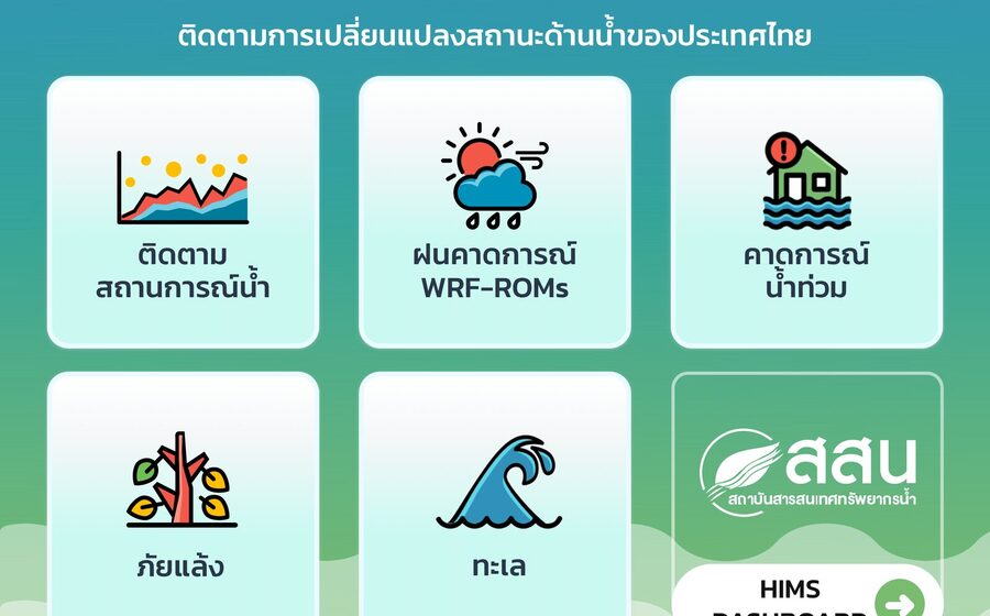
Earth Observation Water Supply & Demand Monitoring System
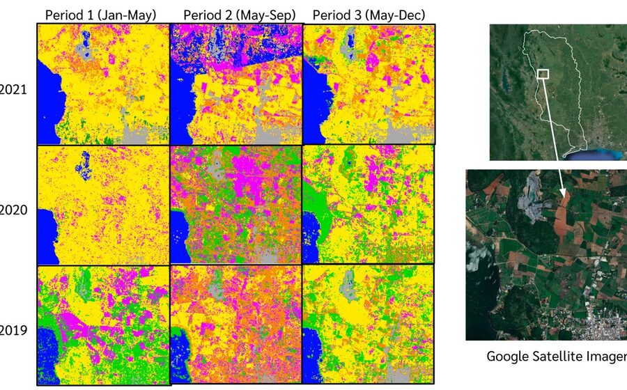
Machine-Learning Land-Use Classification from Sentinel Imagery
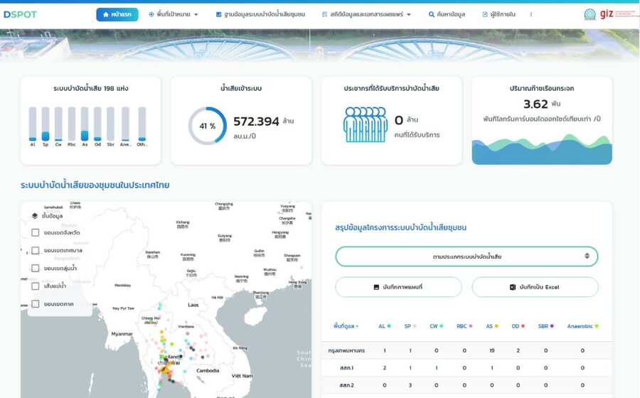
D-SPOT – National Database of Domestic Wastewater Treatment Plants
Have a geospatial project in mind?
Tell us about your data and your users. We will help you design the right system.