
Machine-Learning Land-Use Classification from Sentinel Imagery
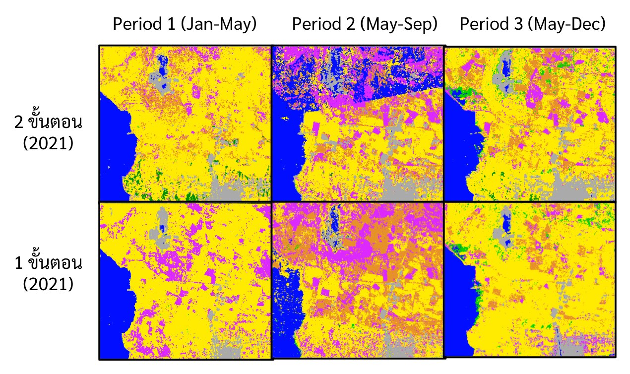
Statistical analysis and CNN-based land-use classification of the Tha Chin River Basin from Sentinel-1 radar and Sentinel-2 optical imagery, packaged as an automated daily pipeline.
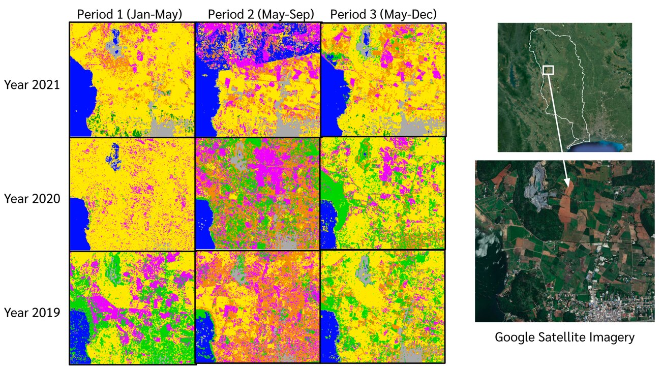
- Automated download and preprocessing from the Copernicus Data Space.
- CNN classification in PyTorch; database and web display with LINE status alerts.
- Delivered as a Docker-based system for sustainable flood management planning.