
Drought–Flood Impact Analysis Platform (HIMS next generation)
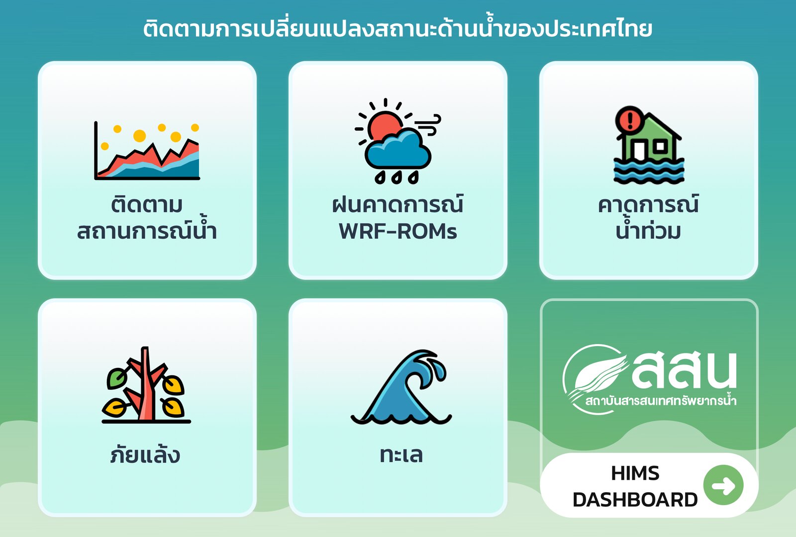
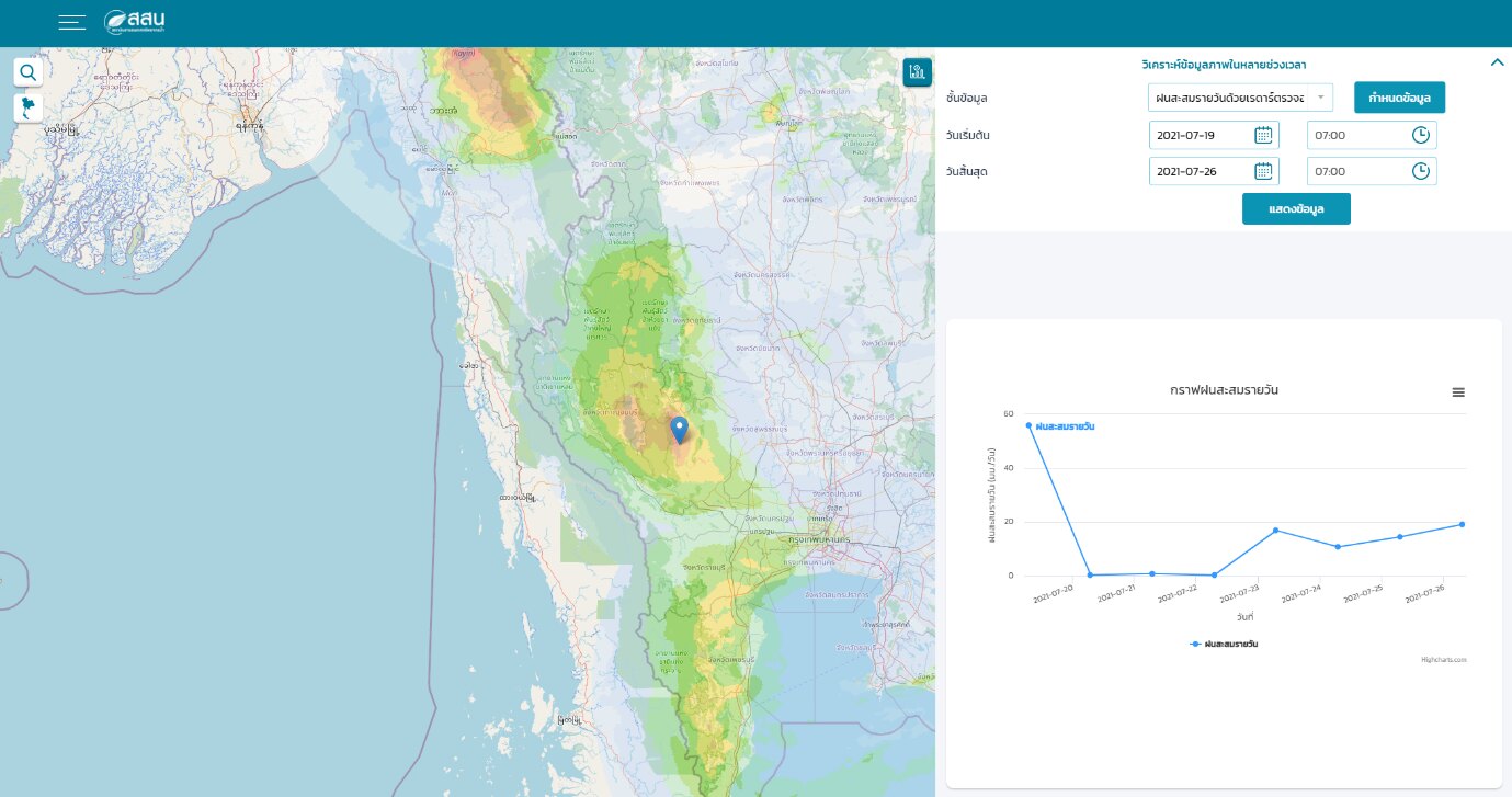
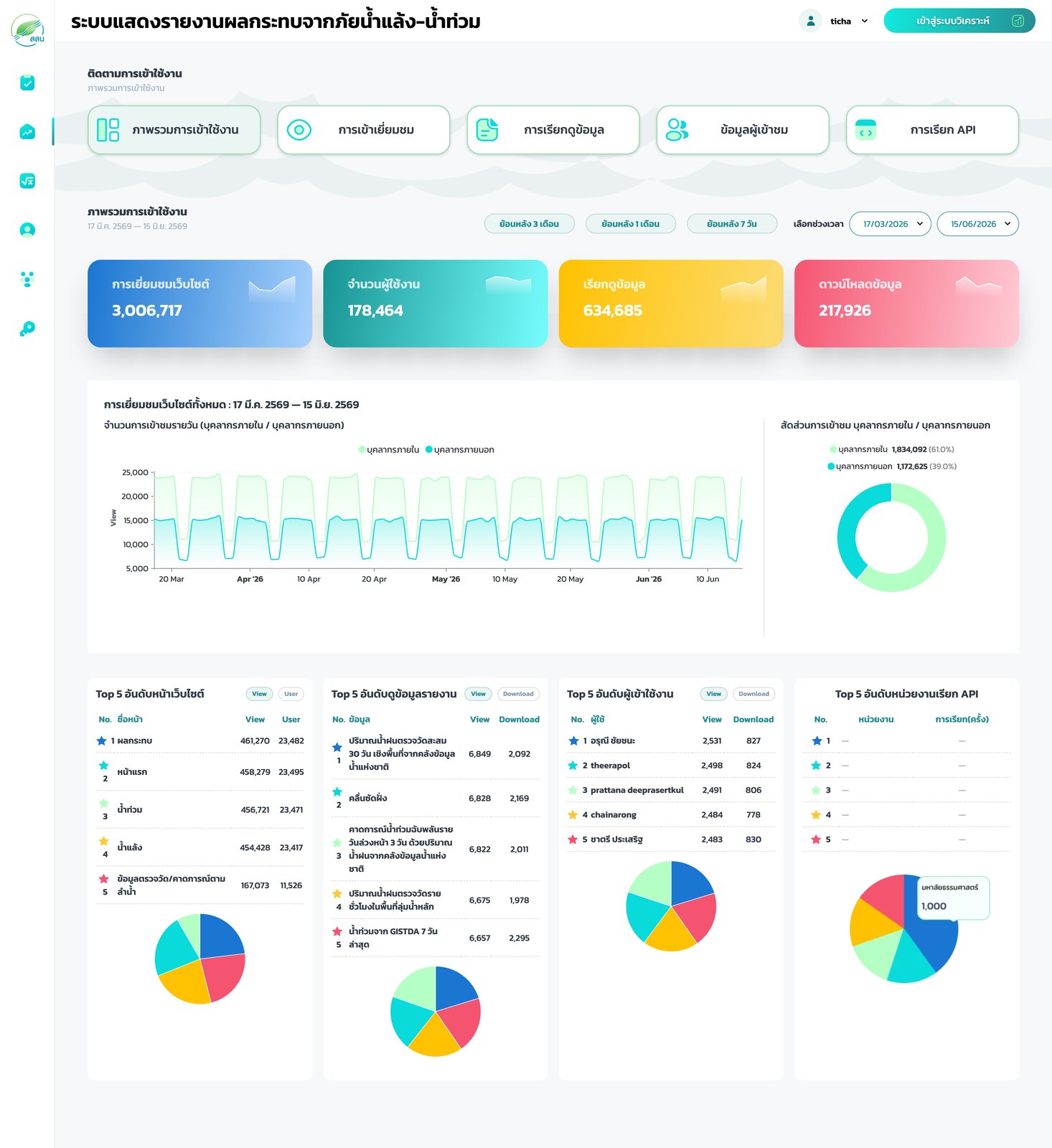
Next-generation rebuild of HII’s HIMS platform: a Laravel admin and analysis portal, API gateway, time-enabled map layers and analysis tools for drought and flood impact.
Read more →Geospatial systems we have designed and delivered for public agencies, international programmes and private companies since 2018.
Next-generation rebuild of HII’s HIMS platform: a Laravel admin and analysis portal, API gateway, time-enabled map layers and analysis tools for drought and flood impact.
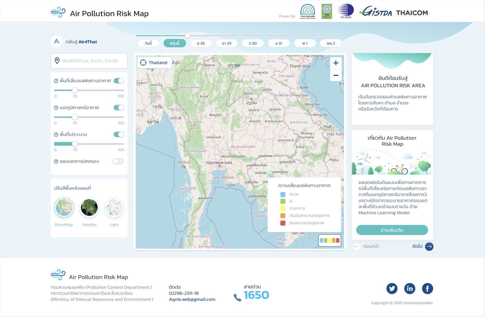
Read more →A public web map showing today’s and tomorrow’s PM2.5 risk for every air-quality zone (airshed) in Thailand, driven by a remote-sensing and machine-learning forecast model.
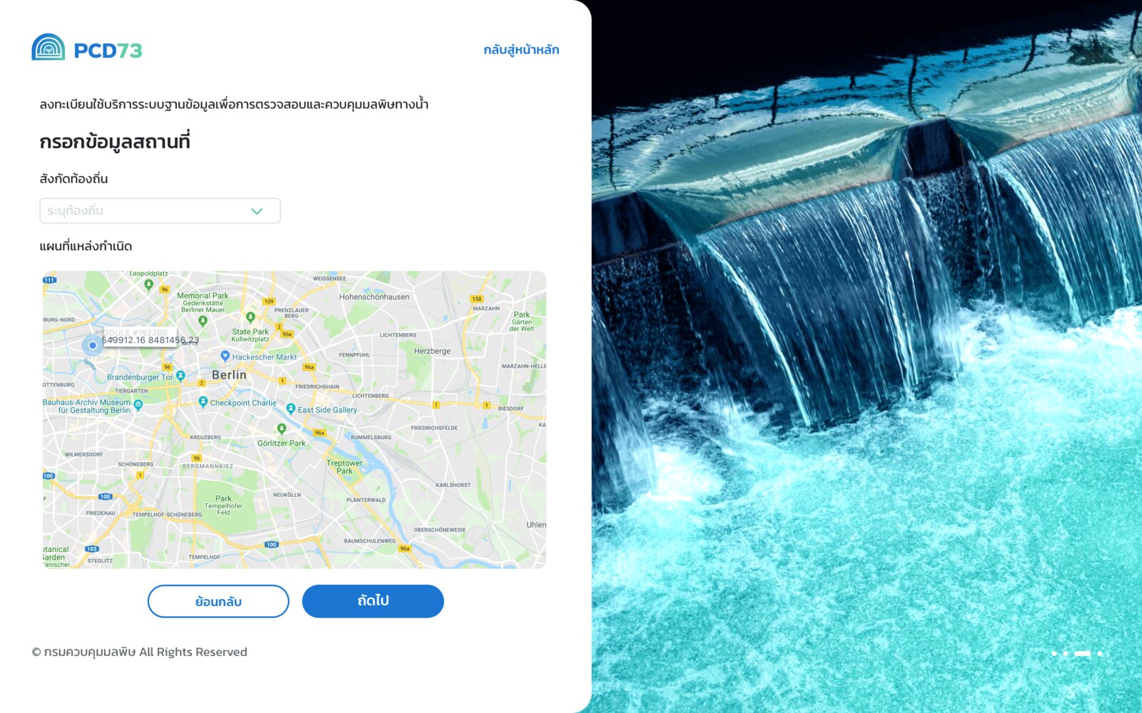
Read more →Web-based licensing and database system for wastewater-system operators and pollution-source owners under Thailand’s Environmental Quality Act, with ThaID login and map-based facility registration.
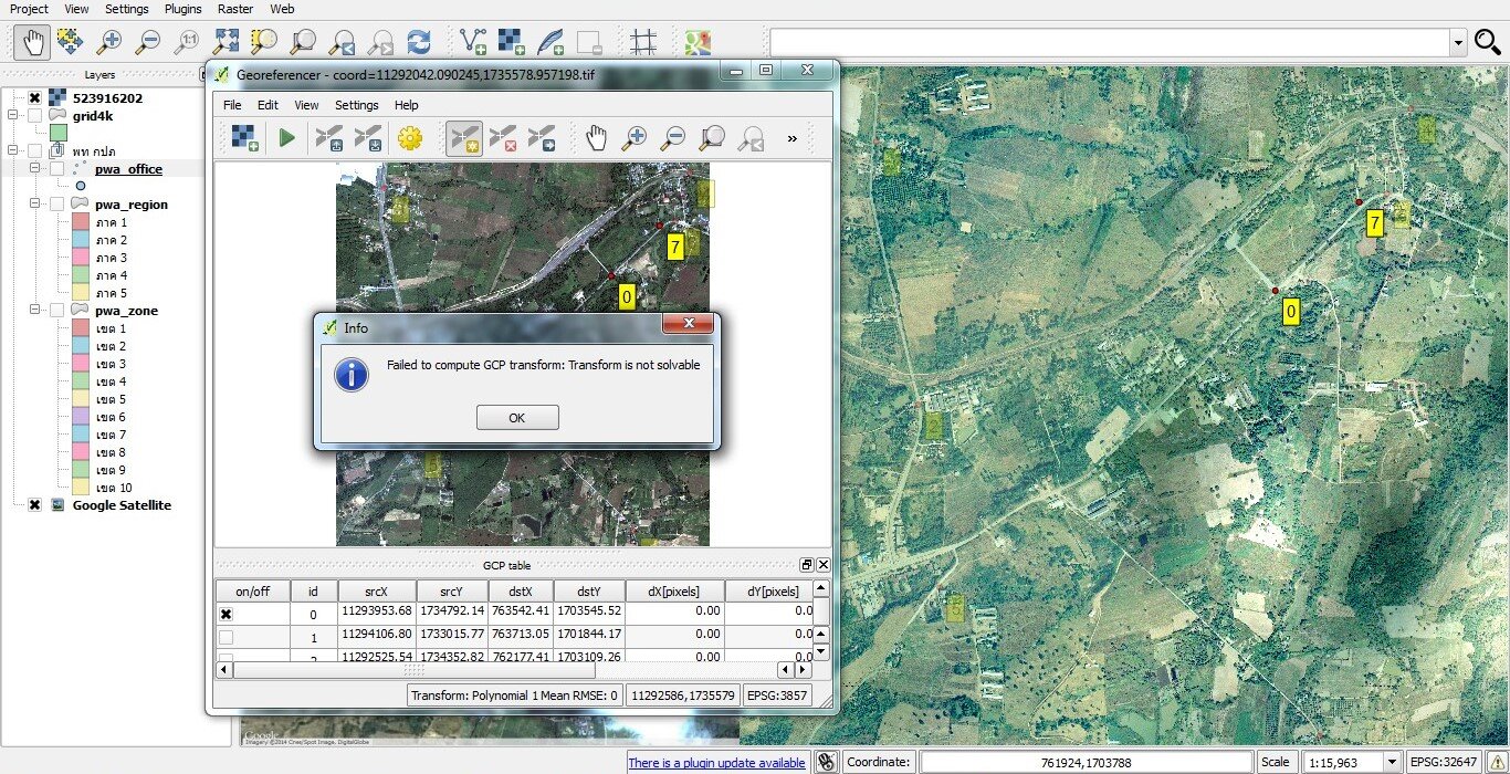
Read more →A custom QGIS plugin and online data-entry web application for mapping pipes, valves, meters and waterworks sites, with topology checks and water-loss analysis.
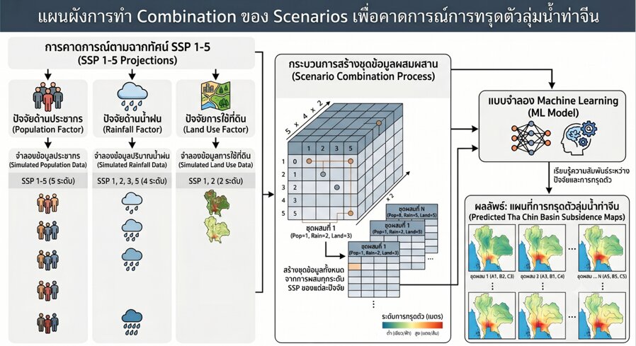
Read more →Time-series InSAR measurement of ground subsidence in the Tha Chin Basin and Bangkok’s surrounding provinces, with machine-learning forecasts shown in a web map application.
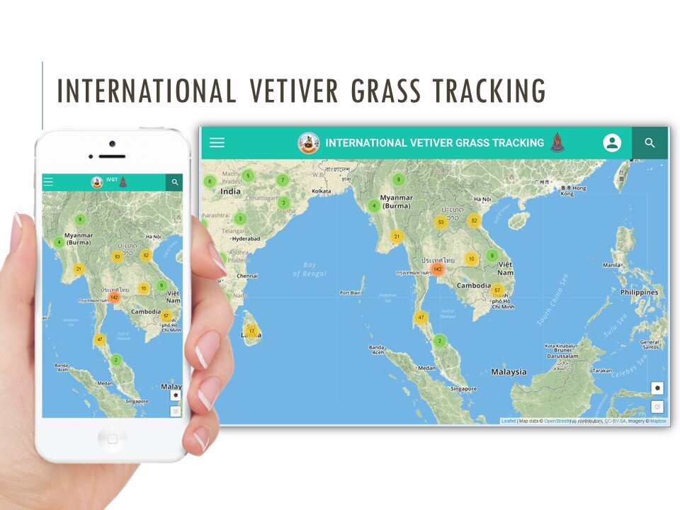
Read more →Modernisation of the international vetiver-planting information system that tracks more than 3,500 sites in 28 countries, with a clustered project map, public map and progress-photo uploads.
Read more →Upgrade of HII’s GeoNode/MapStore data catalogue with better search, project grouping and integration of mobile-mapping and UAV survey data.
Read more →Map-based indices of Thailand’s water supply, water demand and water balance from satellite Earth Observation data, with a REST API for agencies and a LINE chatbot for quick queries.
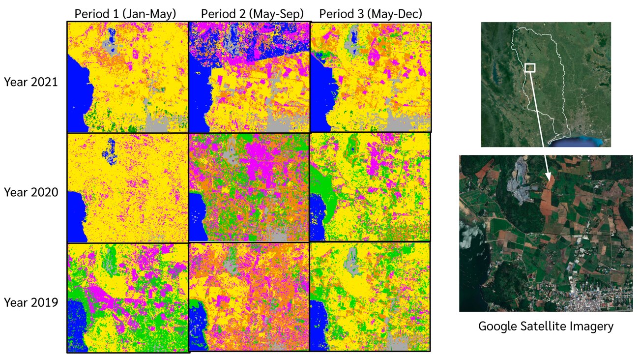
Read more →Statistical analysis and CNN-based land-use classification of the Tha Chin River Basin from Sentinel-1 radar and Sentinel-2 optical imagery, packaged as an automated daily pipeline.
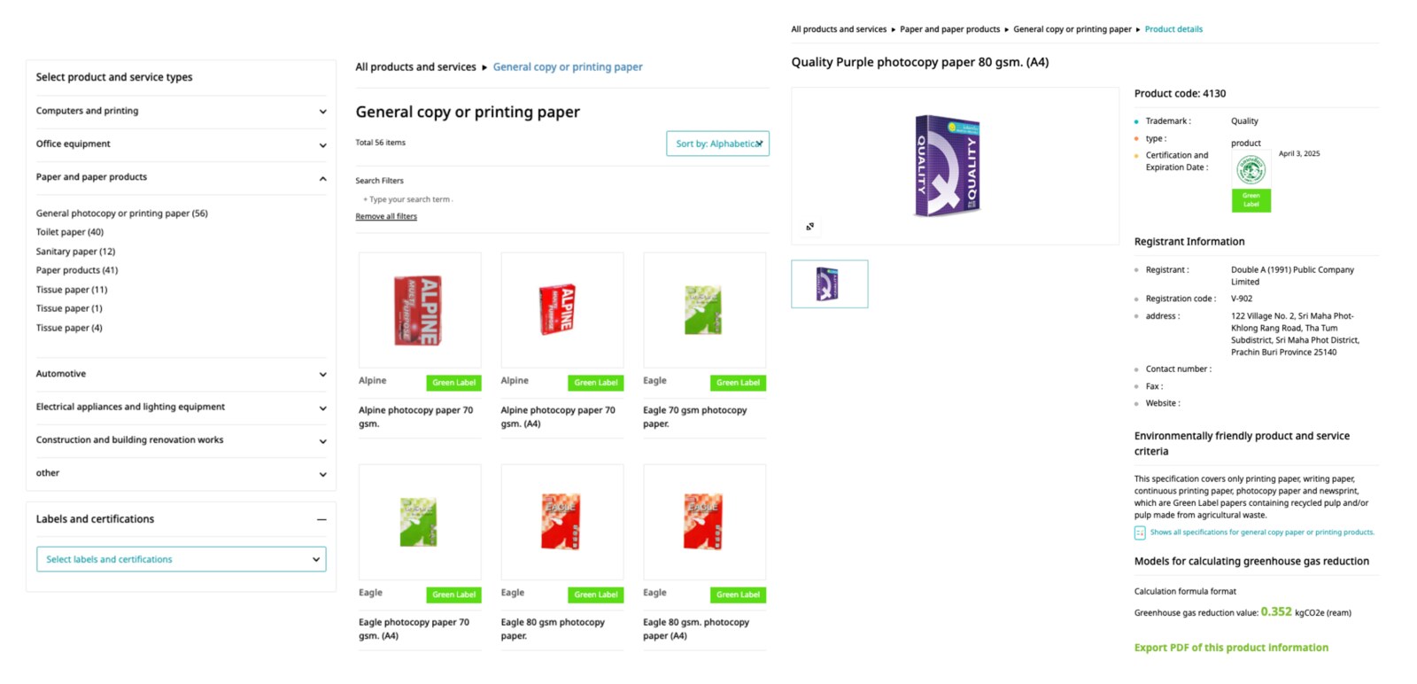
Read more →A searchable inventory of certified green products and a reporting system through which government agencies submit green-procurement reports, with dashboards for PCD officers.
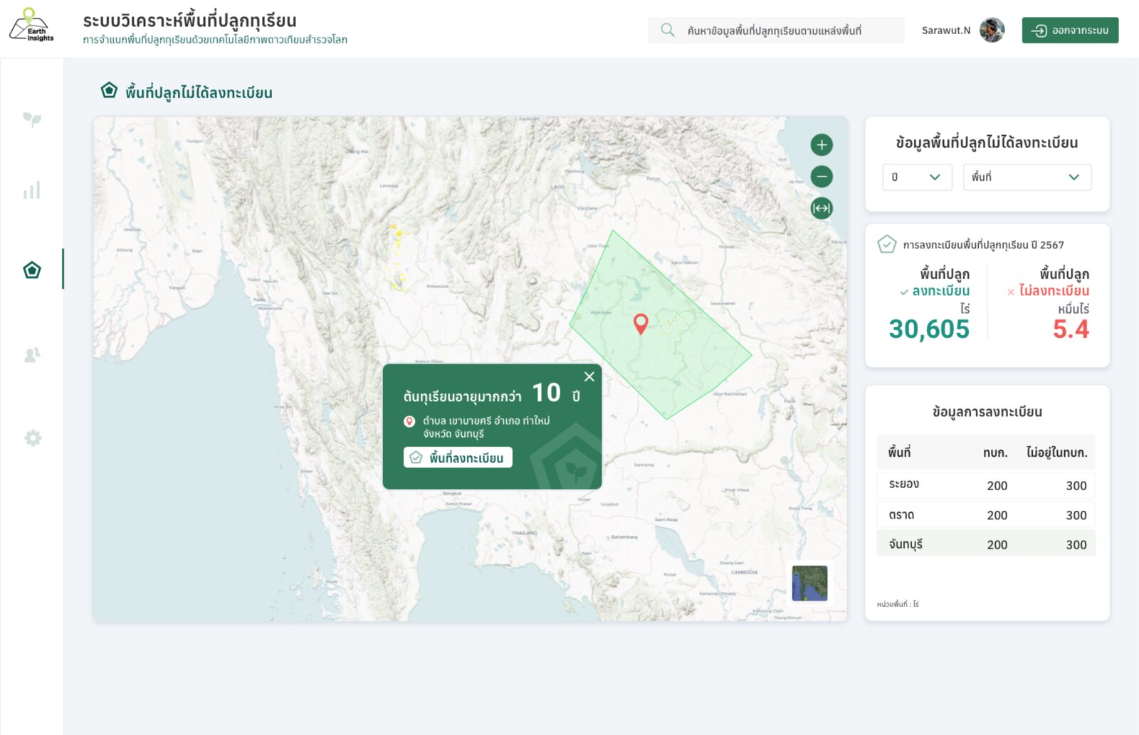
Read more →UX/UI design for a web GIS dashboard that presents durian orchards classified from high-resolution satellite imagery with AI, for Chanthaburi province.
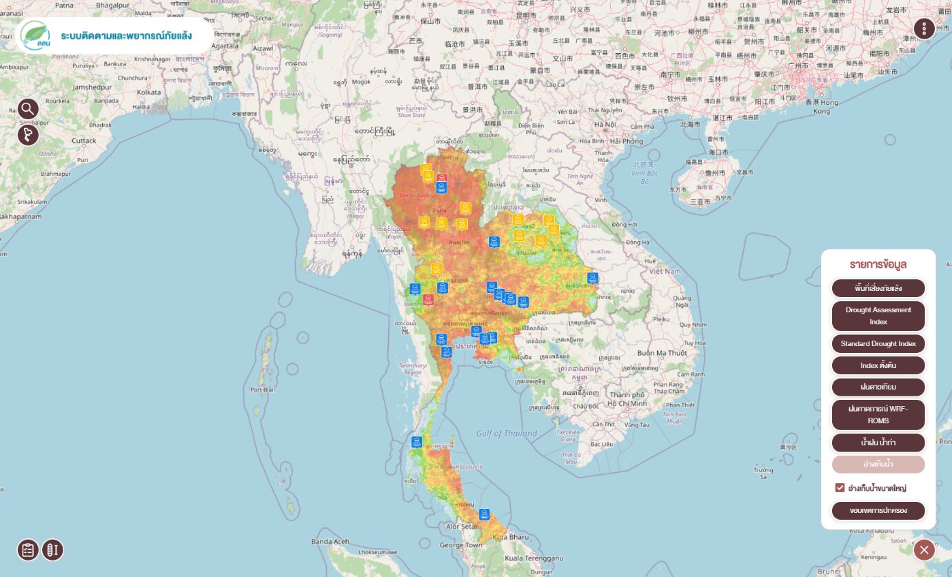
Read more →Added satellite-based drought vulnerability and forecast indices (DFI, DHI, DRI) and linked the drought database into HII’s main HIMS platform.
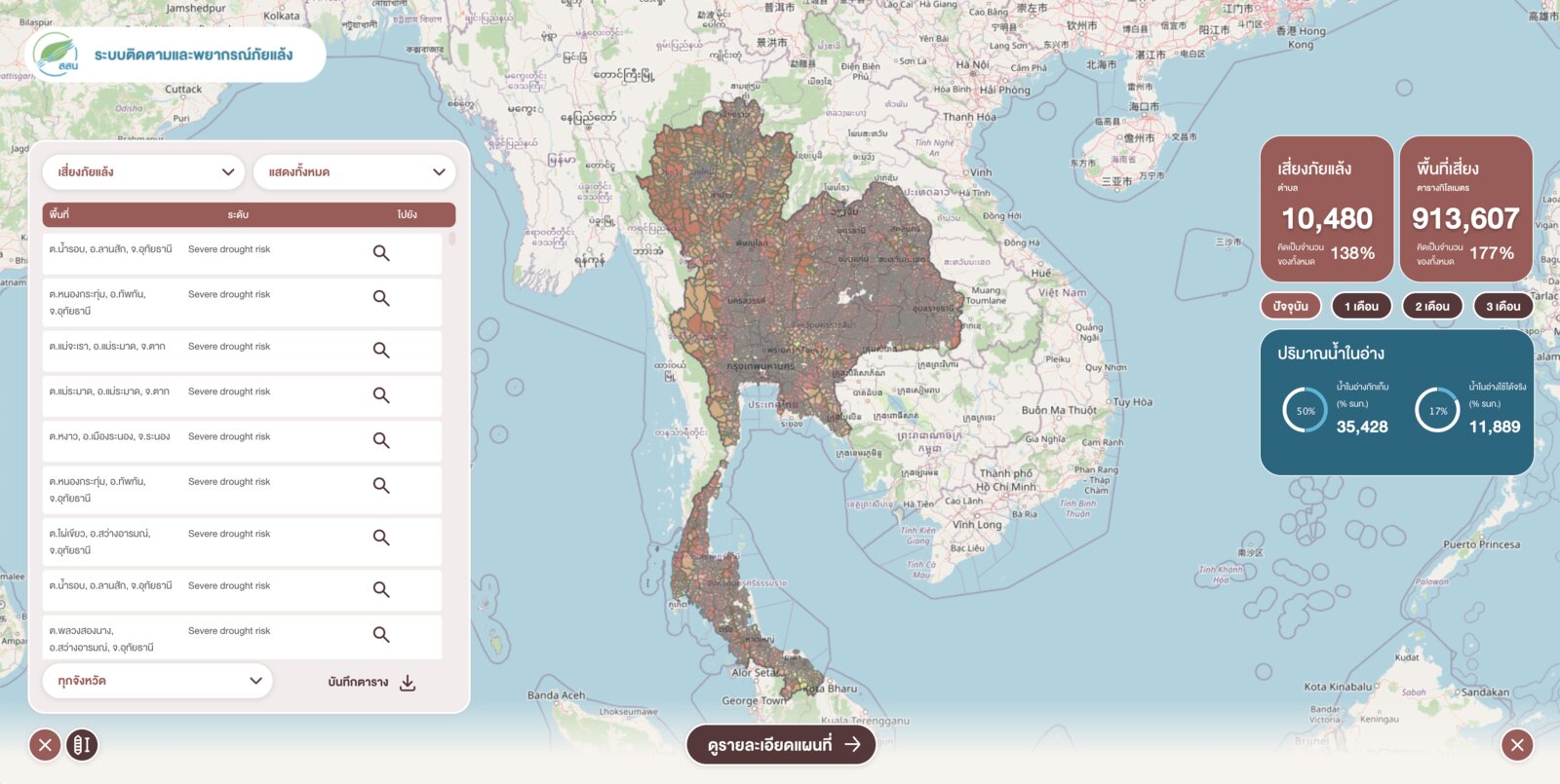
Read more →Web GIS combining satellite drought indices (NDVI, LST, VCI, TCI, VHI) with rainfall, water demand and reservoir storage, down to sub-district level.
Read more →Advanced rainfall analysis over raster data, period comparison, a historical-data viewer and new drought data feeds for the HIMS platform.
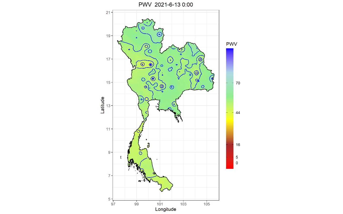
Read more →A processing system that turns multi-GNSS ground-station observations into near-real-time maps of atmospheric water vapor over Thailand, to monitor and forecast weather change.
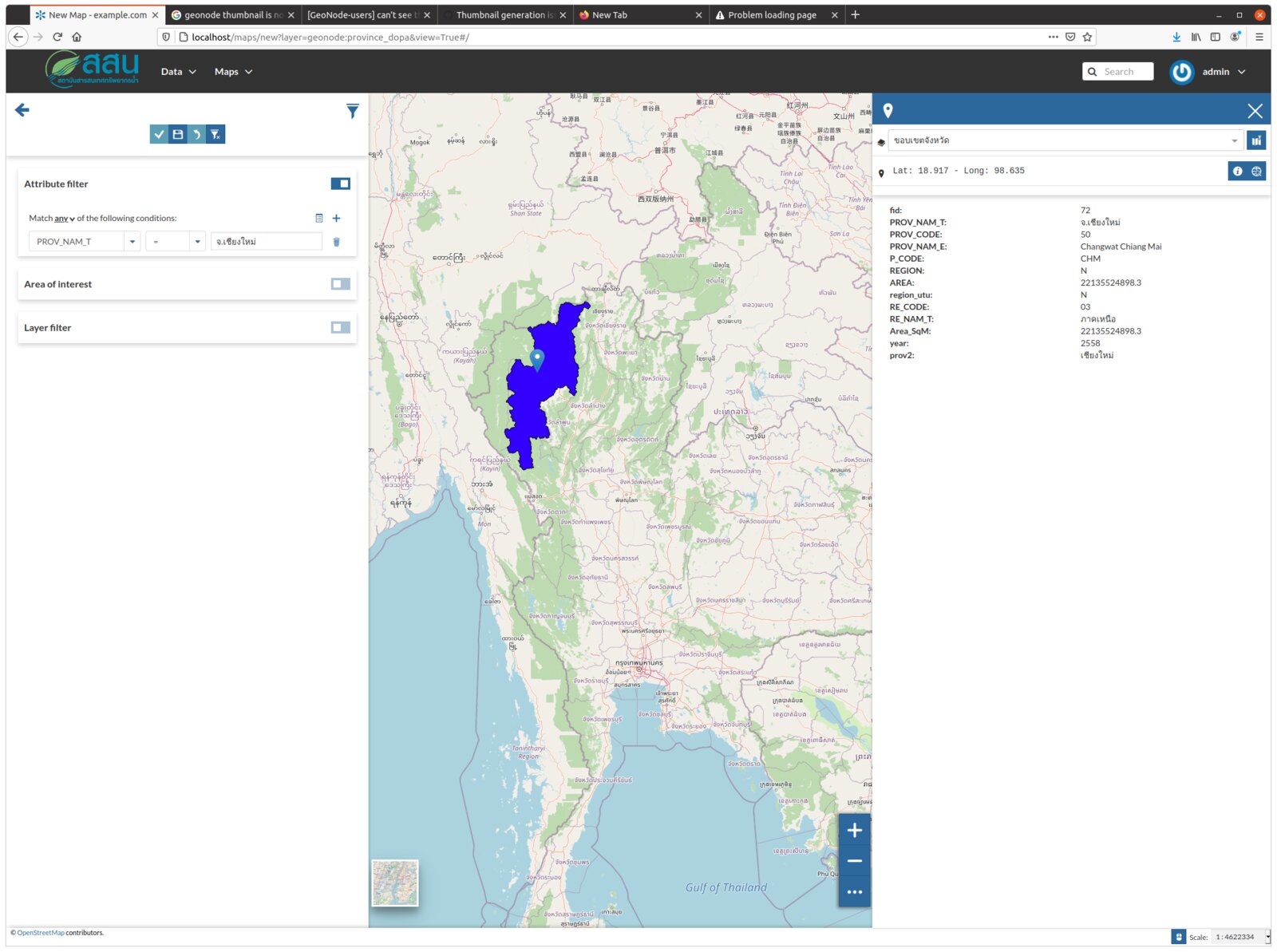
Read more →An organisation-wide spatial data infrastructure and catalogue on GeoNode, MapStore2 and GeoServer, with metadata, permissions, LDAP login and map comparison tools.
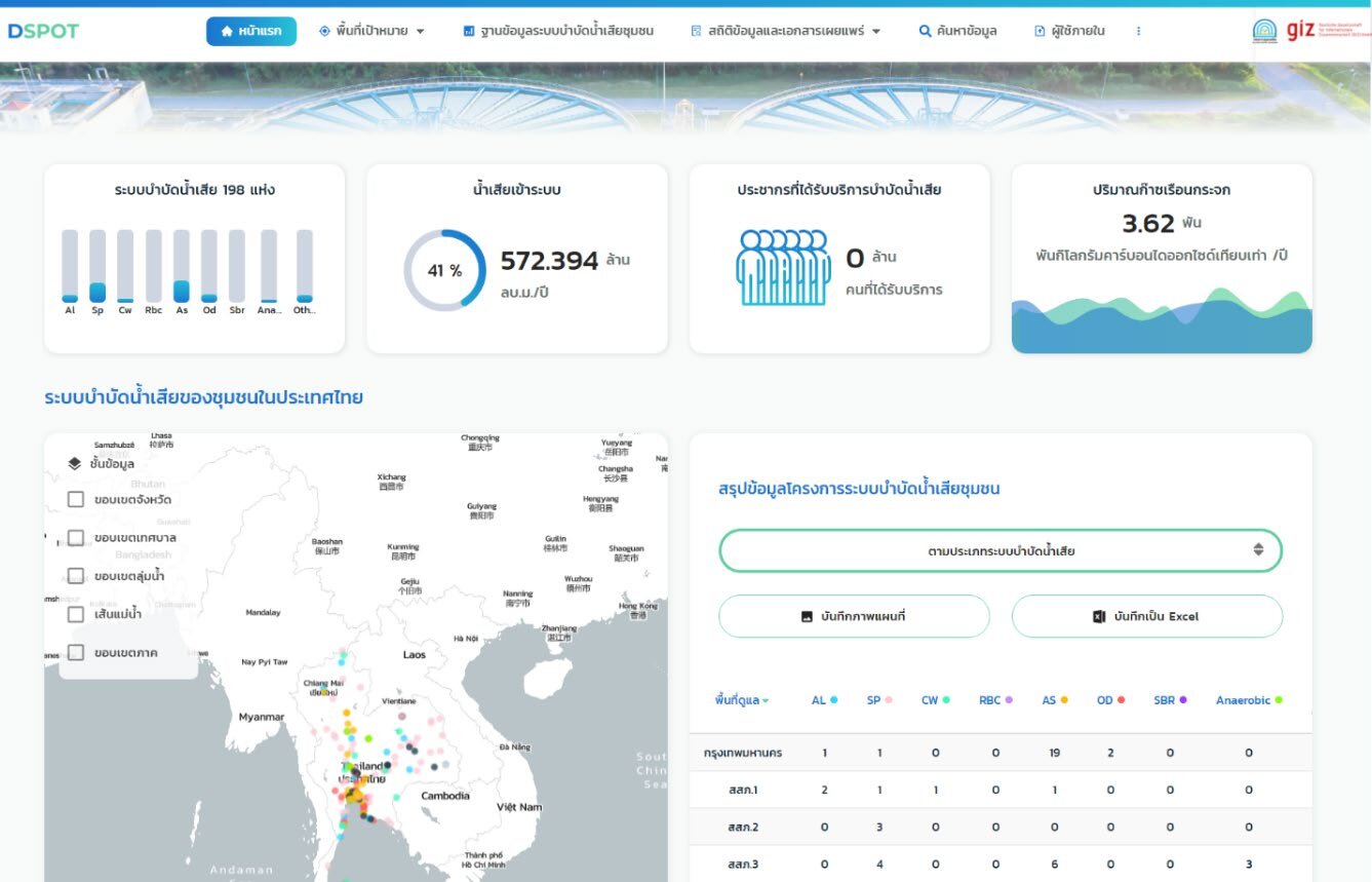
Read more →A national web database of Thailand’s municipal wastewater treatment plants — plant data, water quality and pump stations — with public, data-entry and admin portals.
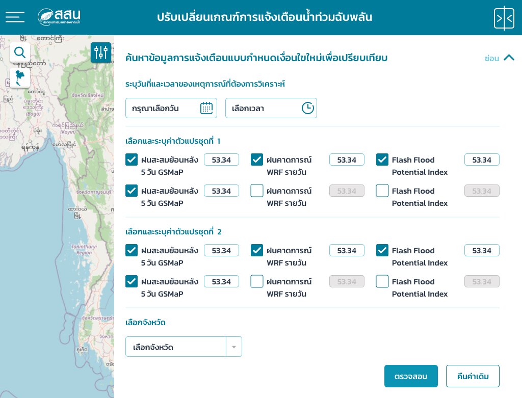
Read more →Comparison, analysis and export of flood-risk data against criteria and indices, plus social-media monitoring with NLP to locate flood events.
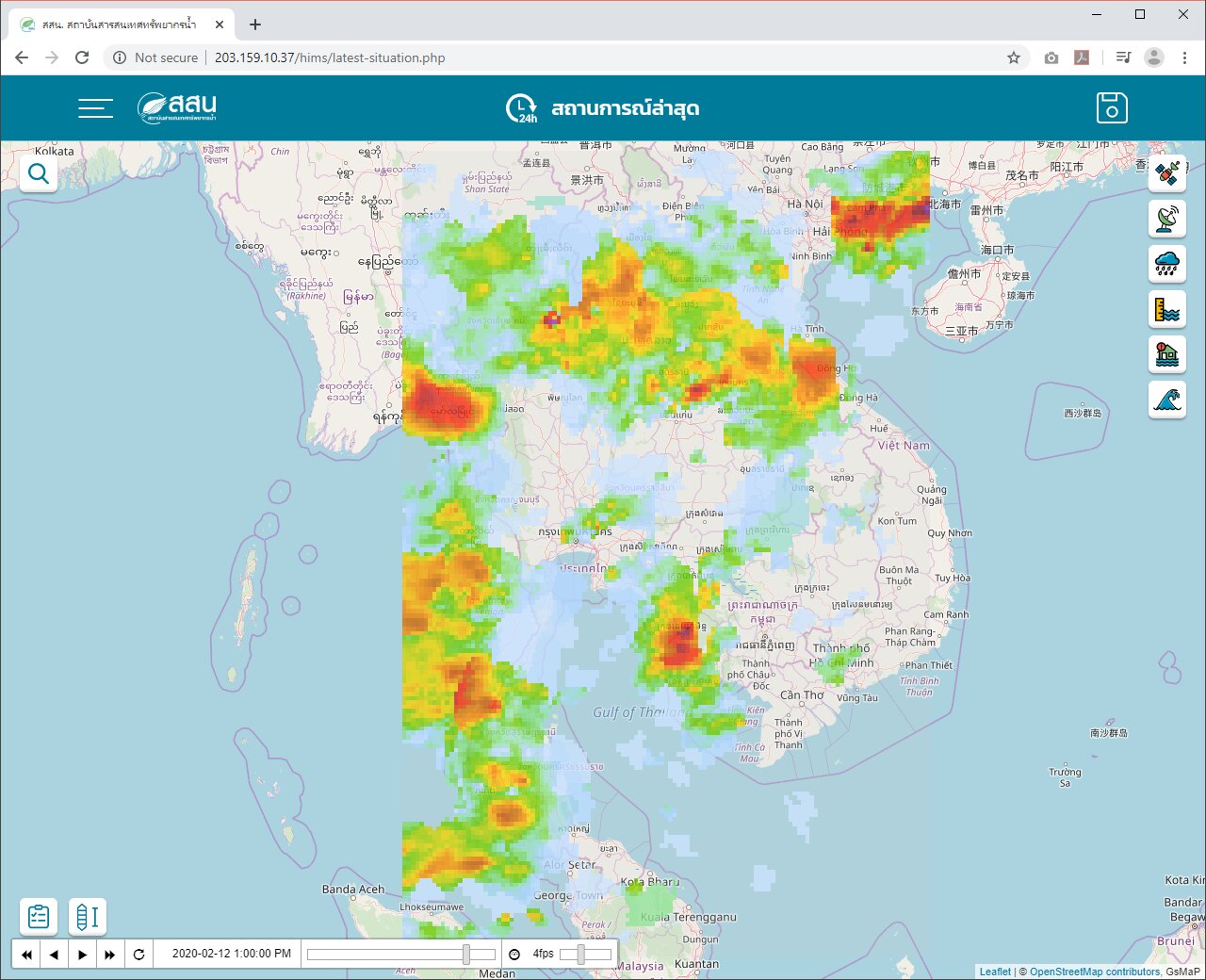
Read more →A responsive web GIS dashboard integrating observed data, forecast-model output, animated weather-radar rainfall, storm-surge forecasts and flash-flood risk areas.
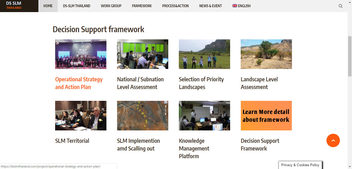
Read more →Bilingual Thai/English project portal and database for Decision Support for Scaling-up Sustainable Land Management, with the Land Development Department.
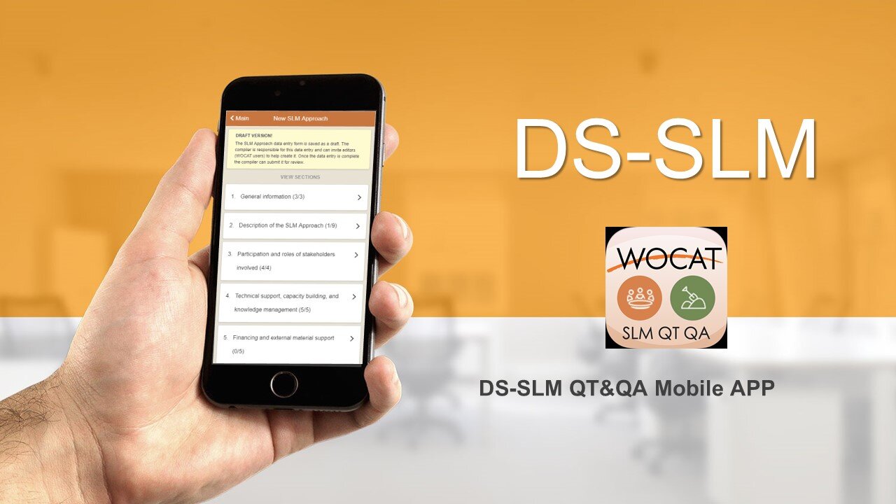
Read more →Android/iOS app for collecting WOCAT technology and approach questionnaires in the field with photo, video and voice capture, plus Thai translation of the Global SLM Database.
Read more →