

Drought Monitoring & Forecast Display System
Web GIS combining satellite drought indices (NDVI, LST, VCI, TCI, VHI) with rainfall, water demand and reservoir storage, down to sub-district level.
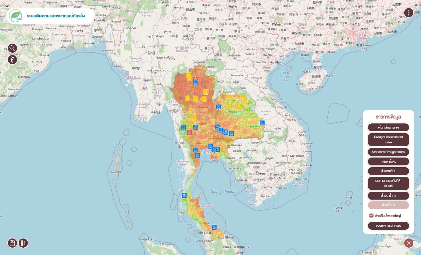
- Indices processed from MODIS in Google Earth Engine.
- Maps and charts to tambon level; admin and user manuals and staff training.
- Leaflet, GeoServer (WMS/WFS), PHP/PostgreSQL, Highcharts.