

3D Terrain Data Integration & Geospatial Catalogue Upgrade
Upgrade of HII’s GeoNode/MapStore data catalogue with better search, project grouping and integration of mobile-mapping and UAV survey data.
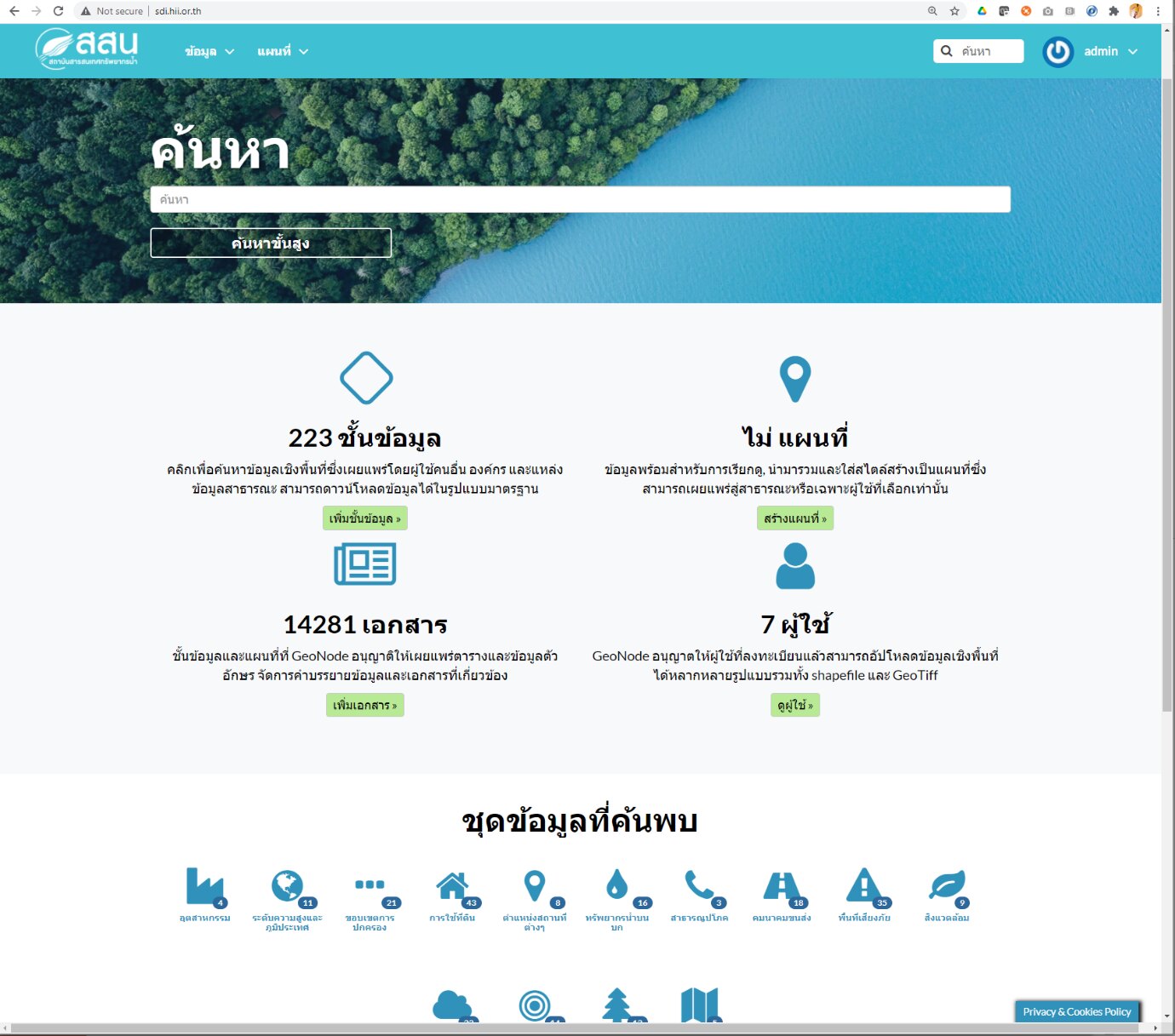
- Keyword and category search, project-based grouping and multi-condition queries.
- Integration of high-resolution survey data: mobile mapping system (MMS) output, UAV point clouds and imagery.
- GeoNode, MapStore2 and Docker.