

AI-Based Durian Plantation Analysis Platform – UX/UI Design
UX/UI design for a web GIS dashboard that presents durian orchards classified from high-resolution satellite imagery with AI, for Chanthaburi province.
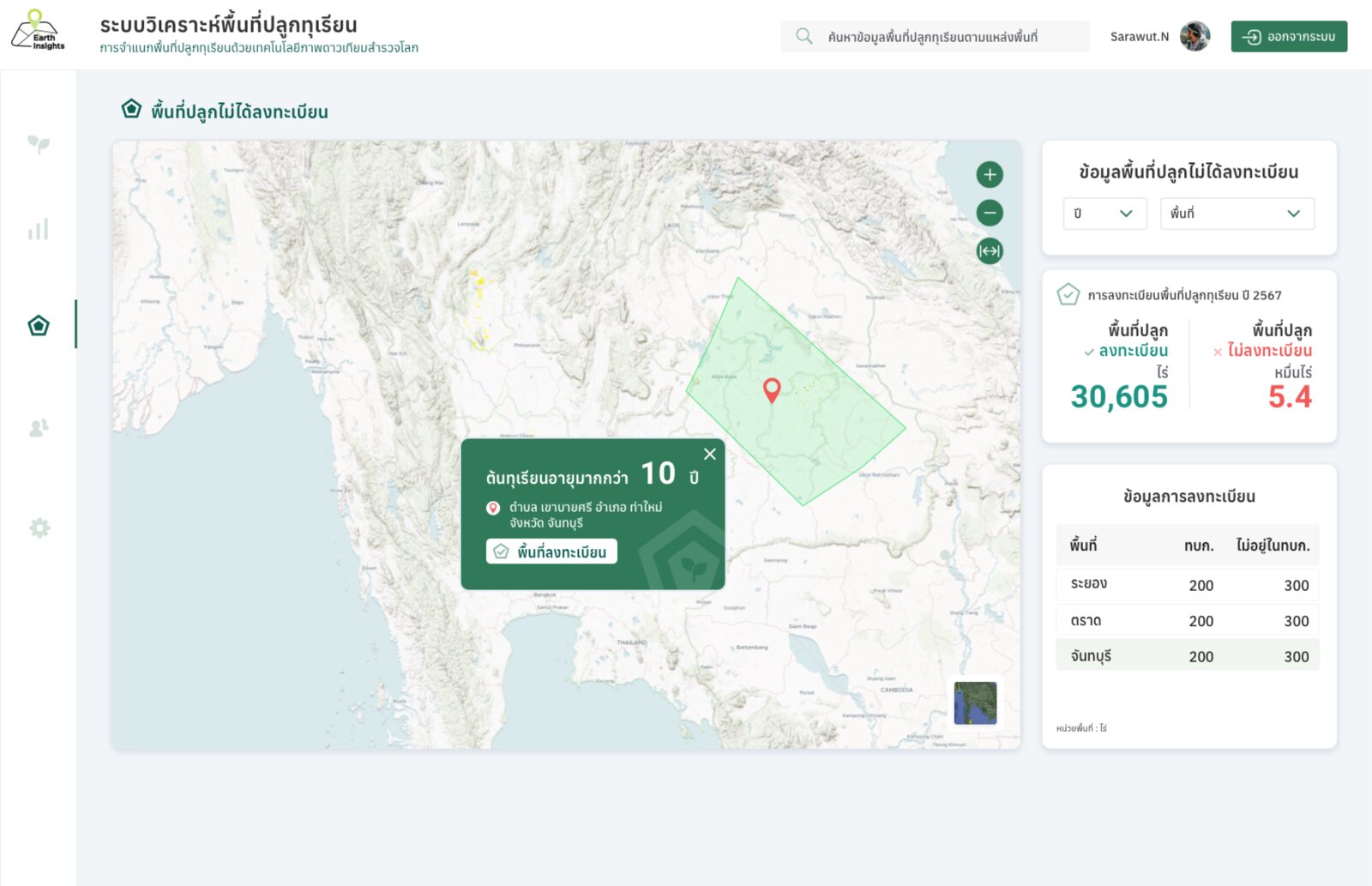
GeoInfo designed the user experience and interface of the platform. The AI classification and system development were carried out by the client.
- Information architecture, user flows and high-fidelity screens in Figma.
- Map views for monoculture versus mixed orchards and orchard age classes.
- Comparison views against Department of Agricultural Extension farmer registrations 2021–2023, and user-management screens.