

Online GIS Data Entry System & QGIS Plugin for Water-Network Mapping
A custom QGIS plugin and online data-entry web application for mapping pipes, valves, meters and waterworks sites, with topology checks and water-loss analysis.
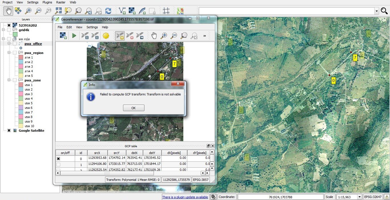
- QGIS 3 plugin with PWA-specific toolbars for editing pipes, valves, meters, buildings and waterworks sites.
- Topology validation and water-loss (DMA) analysis tools.
- Online GIS data-entry web application with SAP-synchronised user roles and an API link to PWA’s pressure-monitoring system.
- Python/PyQGIS, with the Vallaris map platform.